
Project Team - INPE
|
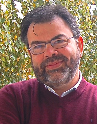
Gilberto CâmaraGilberto Câmara is a Senior Researcher at the Earth Observation Directorate at Brazil's National Institute for Space Research (INPE). He leads INPE's R&D team on Geoinformatics and Environmental Modelling. From December 2005 to May 2012, he was INPE's general director. He established a free and open access policy for INPE's data and guided INPE's team to achieve big advances in forest monitoring by satellite. In the REDD-PAC project, Gilberto works on producing land change data for Brazil, on data and software integration for the project, on establishing future scenarios for land policy in Brazil, and on linking between IIASA models and INPE modelling tools. |

|
Fernando RamosFernando Ramos is a senior researcher of the Computing and Applied Mathematics Laboratory at INPE. His background includes scientific computing, time-series analysis, inverse problems, complex systems modelling and simulation, in applications that range from Meteorology to Remote Sensing and Geophysics. During the past decade, Dr. Ramos has been the principal investigator at INPE of several national and international research projects and represented Brazil, as seconded expert, at the Group on Earth Observations (GEO), in Geneva. In the REDD-PAC project, Fernando works on the adaptation of the GLOBIOM, G4M and EPIC models for the Brazilian case. |

|
Aline SoterroniAline Soterroni has a PhD in Computer Science (2012) from National Institute for Space Research, Brazil. Her background is in applied mathematics and computing with a special focus on optimization techniques for global optimization. For the REDD-PAC project, Aline works on the adaptation of the GLOBIOM model for Brazil. |
|
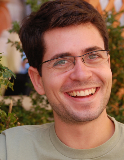
Pedro AndradePedro Andrade is a researcher at the Earth System Science Center (CCST) at INPE. He is a geoinformatics expert, with a PhD on Applied Computer Science. He is in charge of the integration between TerraLib library and R statistics toolbox (the aRT package). He is also one of the leading developers of the TerraME modelling software. In the REDD-PAC project, Pedro works on data and software integration for the project, on linking between IIASA models and INPE modelling tools, and on adapting IIASA's G4M and EPIC models for Brazil. |
|
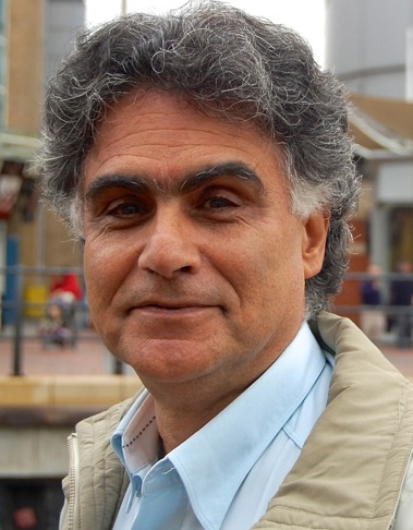
Ricardo Cartaxo Modesto de SouzaRicardo Cartaxo is a senior engineer at the Earth Observation Directorate at INPE. He has a 30 year experience is remote sensing image processing and geospatial software development. He is the chief architect of INPE's geospatial technologies. In the REDD-PAC project, R. Cartaxo designs the geospatial databases and develop new software for time series analysis of land change data. |
|
Victor MausVictor Wegner Maus has a MSc in Computational Modelling (2011) and is PhD Student in Earth System Science from National Institute for Space Research, Brazil. His background is in mathematical modelling and computer simulation with special focus on numerical methods. For the REDD-PAC project, Victor works to develop new software for time series analysis of land change data. |

|
Merret BuurmanMerret Buurman has a MSc in Geoinformatics (2014) from the University of Muenster. Her background is in spatial analysis, geoinformatics, and landscape ecology. For the REDD-PAC project, Merret work on the development of land cover maps for Brazil. |

International Institute for Applied Systems Analysis

National Institute for Space Research - Brazil

Commission des forets d'Afrique Centrale/Central African Forests Commission

United Nations Environment Programme World Conservation Monitoring Centre

Instituto de Pesquisa Econômica Aplicada
Germany International Climate Initiative
